Feature Projects:
Waipa fish breeding areas
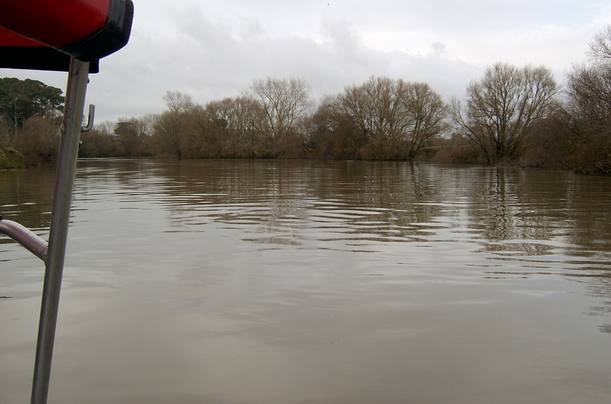
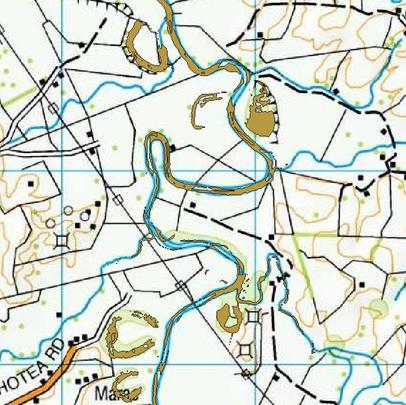
In this study carried out for Envirostrat Consulting Ltd in 2015, areas on the Waipa River with suitable conditions for fish breeding were identified. Suitable areas were defined as: “areas along rivers in the Waipa catchment which are flooded on average 3 times per year for at least 24 hours each time”. A statistical analysis of water levels at the ten monitoring sites in the catchment was undertaken, to determine threshold water levels that met the flooding criterion. Next water levels along the rivers that correspond to the threshold water levels at the monitoring sites were calculated by applying the Waikato Regional Council’s (WRC) hydraulic model of the rivers. WaterRide 1D Surface software was then used to generate a water surface along the rivers (and for some distance outside the river banks) representing threshold flooding conditions. The threshold water surface was overlaid on the WRC Lidar digital elevation model, to produce a flood surface indicating the extent of suitable breeding areas. The breeding areas were confirmed as realistic by experienced eel fishermen. The map shows a piece of the threshold flood surface overlaid on a topomap.